GeoView Asset Management
Capture, describe, publish and maintain physical assets inventory in your own cloud
GEOVIEW ENTERPRISE-BASED PHYSICAL ASSET INVENTORY
Utilizing powerful GeoView Enterprise architecture to establish, inspect and maintain your complete corporate physical assets inventory.
Physical asset management represents a sound practice of managing the entire life-cycle (design, construction, commissioning, operating, maintaining, repairing, modifying, replacing and decommissioning or disposal) of physical and infrastructure assets such as single equipment part, structures, production and service plant, power, water and waste treatment facilities, distribution networks, transport systems, buildings and other physical assets. The increasing availability of data from asset systems is allowing the principles of Total Cost of Ownership to be applied to facility management of an individual system, a specific project, or across corporate boundaries.
GeoView Asset Management extends GeoView Enterprise architecture to enable running your corporate “cloud” solution ensuring full operational continuity of geo-referenced facilities inventory, including assets capturing, classification, publishing and maintenance. It also enables building detailed custom data models to describe captured assets, as well as attaching pre-recorded imagery and documents to specific features – via provided web and mobile clients. More importantly, GeoView Enterprise ensures full privacy of your data since it sits behind your company’s firewall and may get publicly accessible only if you choose to.
PHYSICAL INVENTORY MANAGEMENT
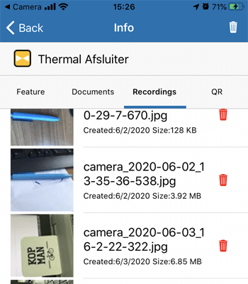
Ensure full operational continuity with geographic visibility of physical inventory assets – including actual feature mapping, feature data maintenance, reporting, and assigning in-the-field recordings such as photos, documents, etc.
DISCOVERING ASSETS IN-THE-FIELD
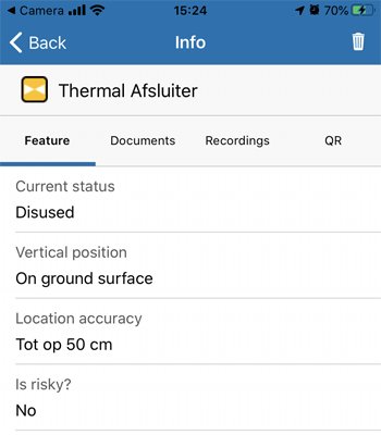
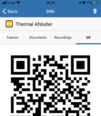
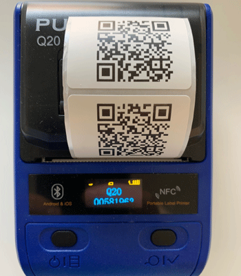
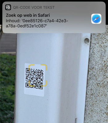
Identify all the assets in your organization using the QR-codes one can automatically generate, print, scan and easily update in the field. Provides means to precisely track and update asset data when necessary.
ASSET LIFE-CYCLE MANAGEMENT
Manage and track all your assets in a single view from anywhere using web and mobile clients, including any of the project-driven phases – be it procurement, maintenance, depreciation, or disposal.
DATA MODEL-DRIVEN ARCHITECTURE
Provide and maintain a custom domain-based data model architecture to handle detailed physical assets classification with regards to actual feature typology and associated properties, value ranges, constraints, and many other aspects.
CONFIGURATION MANAGEMENT DATABASE
Maintain a complete repository of all asset properties in the organization with in-depth visibility of how they are connected to each other. Easily identify critical assets and analyze the impact of incidents and changes.
GEOSPATIAL DATA REPRESENTATION
Easily customize geospatial-based feature data representation and stylization in terms of symbology, size, color, behavior, etc. based on actual asset type and role. Manage map-related feature displaying and labeling rules.
Asset Management Platform Components
GeoView Enterprise Asset Management Environment-specific Components
SERVER APPLICATION
![]()
GeoView Server represents server-side application providing scalable architecture via REST API support.
Suited for corporate environments, as well as public services and agencies towards capturing, describing, publishing and maintaining physical assets inventory data over LAN, WAN and/or Internet. Running as a back-end system service, it provides versatile REST API support enabling receiving and processing requests for information sent by other devices and related applications, such as specialized GeoView Web and Mobile clients.
WEB CLIENT
![]()
Thin client providing interactive map capable of displaying server-based physical assets inventory.
Web Client application provides an interactive, GIS-flavored insight into corporate physical assets inventory data published by GeoView Server, enabling browser-based support for displaying, inspecting, editing and exporting asset data with your colleagues or general public. Available data can be easily shared with your peers, converted to multiple spatial reference systems, file formats, and more.
MOBILE CLIENT

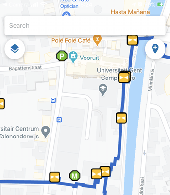
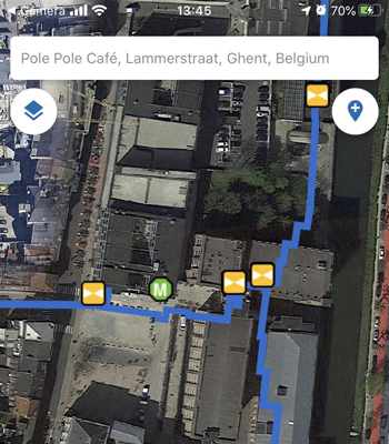
Mobile client enabling on-site physical assets capturing and publishing onto GeoView Server.
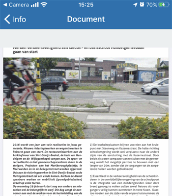
GeoView Mobile application helps users identify, capture, update and share on-site physical assets using any GPS-enabled iOS or Android device. Use your phone or tablet camera to take asset photos, attach related documents and set required meta-data prescribed by customizable data model. Once published to GeoView Server, acquired data is immediately available for consuming via GeoView Web Client as well.